Digital Ankyra Project: A Long Term Digitization and Mapping Initiative of Multilayered Ankara
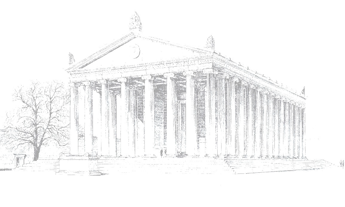
The Digital Ankyra Project is a long-term initiative dedicated to uncovering the multilayered historical landscape of Ankara. Since 2021, the project has aimed to make the faded architectural heritage of Roman Ankara more visible within the modern cityscape, draw attention to the urban fabric of the Roman period, which constitutes a significant phase in the city's history, and contribute to the development of preservation policies.
The initiative began with the documentation of the Temple of Roma and Augustus and was later expanded to include the Belkıs Column (Iulianus?) and the Roman street network. The project is designed to be continuously updated as new data is integrated into the mapping system. Conducted with the permissions of the Museum of Anatolian Civilizations, this digital project is carried out by Ankara Social Sciences University and Arkeolab.
A Google Earth-based base map has been used to trace the remains of the Roman period, focusing on Ulus and its surroundings as the core area. Structures have been georeferenced based on archival research and historical literature, and digitally scanned monuments have been made accessible through the interactive mapping system.

